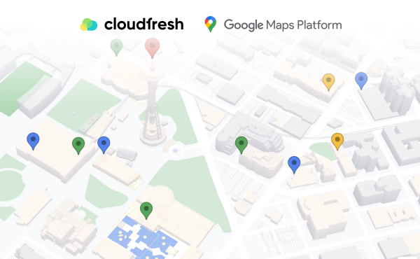


Google’s Maps data: How does it work?
Google Maps 31.01.2024 

What is Google Maps’ Estimated Arrival Time and How to Use it for Your Business?
Google Maps Platform has transformed the way businesses and individuals navigate the world. One of its most powerful components is the Routes API, a suite of tools designed to provide precise routing solutions for various transportation needs. In this article, we delve into the key features of Google Maps Routes API, Google Maps Estimated Arrival and Time (ETA), and a case study of FREENOW, the Hamburg-based mobility service provider that connects taxi and passenger services in 100 European cities.
Key Features of Google Maps Routes API
Directions
The Directions feature of the Google Maps Routes API is a game-changer for planning journeys. Whether it’s for driving, walking, cycling, or public transit, this tool leverages real-time traffic information to create the most efficient routes. It’s not just about finding a way from point A to point B; it’s about finding the best way. By considering current traffic conditions, the Directions feature ensures that the suggested route is the most time-efficient, helping users avoid traffic jams and road closures.
Distance Matrix
Next is the Distance Matrix, a vital tool for businesses that manage multiple destinations or pickups. Imagine a delivery service needing to calculate the quickest or shortest routes for multiple deliveries. The Distance Matrix comes into play here, calculating the travel distance and time between various origins and destinations. This functionality is crucial for logistics and transportation companies, enabling them to optimize their operations and reduce transit times.
Roads
Finally, the Roads feature is particularly useful for applications requiring detailed route information, such as ride-sharing or delivery services. By providing route data based on coordinates, the Roads API helps in accurately determining the paths vehicles have traveled. This is especially beneficial in urban areas where GPS signals might be less reliable due to high buildings or other obstructions.
These features collectively make the Google Maps Routes API a versatile and essential tool for anyone needing reliable and efficient routing solutions.
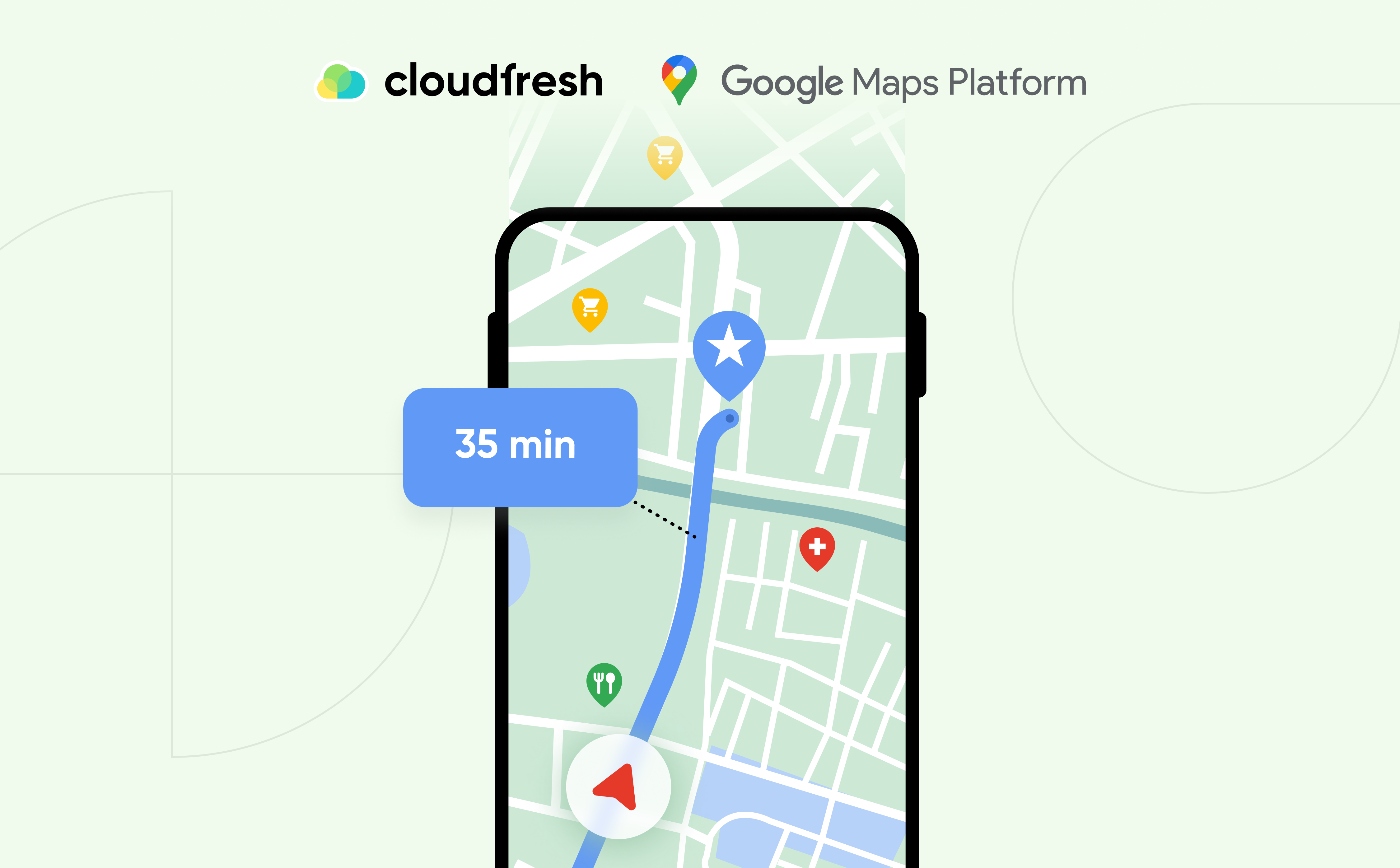
Understanding Google Maps Estimated Arrival Time
In today’s fast-paced world, accurate time predictions are more than a convenience; they’re a necessity, especially for businesses that rely on timely deliveries and services. Google Maps’ estimated arrival time (ETA) and estimated time (ET) functionalities are crucial in planning and navigating routes. They provide users with predicted travel times by analyzing various factors, including real-time traffic data, average speed, and road conditions. This information is crucial for businesses and individuals who depend on punctual arrivals and efficient scheduling.
How Does Google Maps Calculate Estimated Time of Arrival?
Google Maps’ ability to predict travel time is rooted in its advanced technology and vast data collection methods. It employs a complex algorithm that takes into account several factors:
- Historical Traffic Data: Google Maps analyzes years of traffic patterns to understand traffic flow and arrival times at different periods of the day and days of the week.
- Real-Time Traffic Conditions: Live traffic data is continuously fed into the system, allowing Google Maps to adjust travel time predictions based on current road conditions.
- Road Types and Speed Limits: The nature of the roads (highways, local streets, etc.) and their speed limits also play a crucial role in determining travel time.
- User Data: Speed data from smartphones using Google Maps is aggregated to provide real-time traffic information, further refining the accuracy of travel time predictions.
How Accurate is Google Maps Travel Time?
An individual study conducted for over two months, involving 56 car trips in the South of England, revealed that Google Maps’ predicted journey times were remarkably accurate. The trips, covering an average distance of 18 miles with an average journey time of 32 minutes, showed that the actual arrival times were, on average, only about 1.8 minutes different from the predicted times. This high level of accuracy gives users substantial confidence in the reliability of Google Maps’ journey time predictions.
FREENOW Case Study: A Deep Dive
One successful implementation of Google Maps Platform can be seen in the case study of FREENOW, earlier known as Mytaxi. By integrating the Google Maps Platform solution, FREENOW improved the accuracy of estimated arrival times and enhanced driver-passenger interactions. The benefits included:
- Enhanced Navigation for Drivers: The direct incorporation of Google Maps navigation into the FREENOW app provided drivers with up-to-date traffic information and optimized routes. This feature improved the accuracy of ETAs, allowing drivers to navigate more efficiently and reduce the time spent searching for passengers.
- Improved Passenger Experience: With more reliable ETA information, passengers experienced shorter wait times and increased trust in the service. The integration also streamlined the process of finding and boarding rides, contributing to higher customer satisfaction.
- Operational Benefits: The improved ETA accuracy, which saw an average increase of 23% and up to 48% in certain cities, meant that drivers could complete more trips in a day. The average trip length also decreased by 4%, indicating more efficient routing and time management.
The FREENOW case study is a testament to the power of integrating advanced navigation solutions like the Google Maps Platform. It highlights how precise ETA predictions can transform the efficiency and reliability of services, benefiting both providers and consumers.
How does Google Maps calculate time?
- Distance: Google Maps measures the distance between your starting point and destination.
- Speed Limits: They factor in the posted speed limits for the roads you’ll be travelling on. This gives an initial estimate assuming normal traffic conditions.
- Real-time Traffic Data: Google collects anonymized data from Android devices and other sources to understand current traffic conditions. This allows them to adjust the travel time based on congestion ahead.
- Historical Traffic Data: Google considers historical traffic patterns for the specific day and time of day you plan to travel. This helps predict future traffic conditions and adjust the ETA accordingly.
By combining these elements, Google Maps strives to provide the most accurate estimate of how long your trip will take. It’s important to remember that this is still an estimate, and unexpected delays can always occur.
How can Cloudfresh Help You?
Cloudfresh is a unique hub of expertise for Google Maps Platform, Google Cloud, Zendesk, Asana, and Gitlab. To find out more information about Google Maps API for business, get in touch with our Google Maps certified product specialists.
Our Google Maps professional services include:
- Consultations and API integration, including address validation;
- Google Maps Platform-based development services;
- Technical teams’ training;
- Technical support;
- Google Maps licenses.
Contact our team and get the chance to take your customers’ location-based experience to the next level with Google Maps solutions!

Get in touch with Сloudfresh