Your Down-to-Earth Guide to the Google Maps Aerial View API...
This guide gets you started with the Google Maps Aerial View API without going over your head....- Cloudfresh
- Google Cloud Products
- Google Maps Platform for Real Estate
Google Maps Platform for Real Estate
Make the home search experience easier for your customers with map-based tools and visualization features.

increase in сustomer retention by using geospatial data
increase in customers’ time spent on websites
increase in revenue growth when using geospatial data
Discover new ways to show properties
Tailor your maps to offer relevant, personalized details regarding properties and neighborhoods for prospective homebuyers and renters. Leaders in real estate are leveraging location-based experiences to provide contextual, personalized information about properties and neighborhoods.
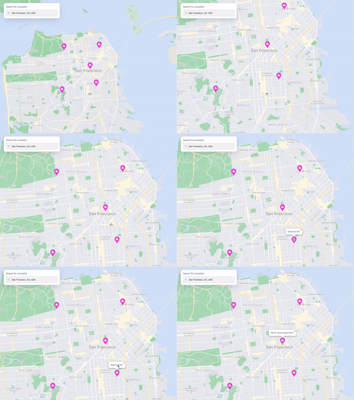
Highlight apartment locations
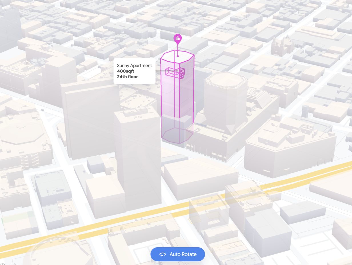
The WebGL Overlay View offers innovative methods for visualizing property locations in three dimensions. For instance, you can display the layout of an apartment within a building, providing users with a spatial understanding of their surroundings in the neighborhood.
Customize map styles
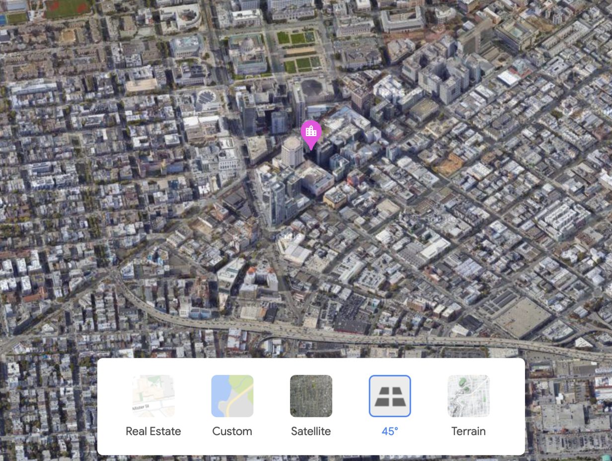
Enhance neighborhoods using satellite imagery, 45° views, real estate-optimized maps, and more. Users can now experience the essence of a neighborhood remotely before scheduling an in-person visit.
Show 360° views
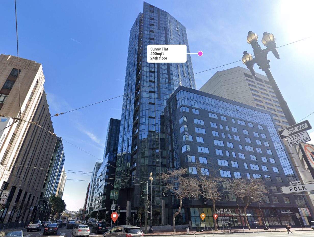
Make it easy for users to explore properties and neighborhoods online, with immersive real-world 360° imagery. Enable users to explore what an area looks like in more detail by panning and zooming, and the ability to change the Street View point of view by moving their devices.
Display local highlights
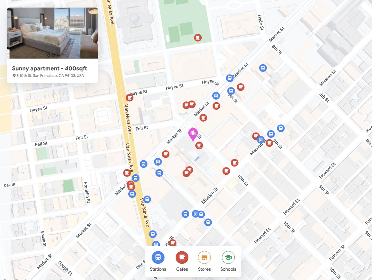
Help people choose their living or visiting locations by highlighting proximity to key places such as schools, parks, and favorite amenities, demonstrating how close they can be to what matters most.
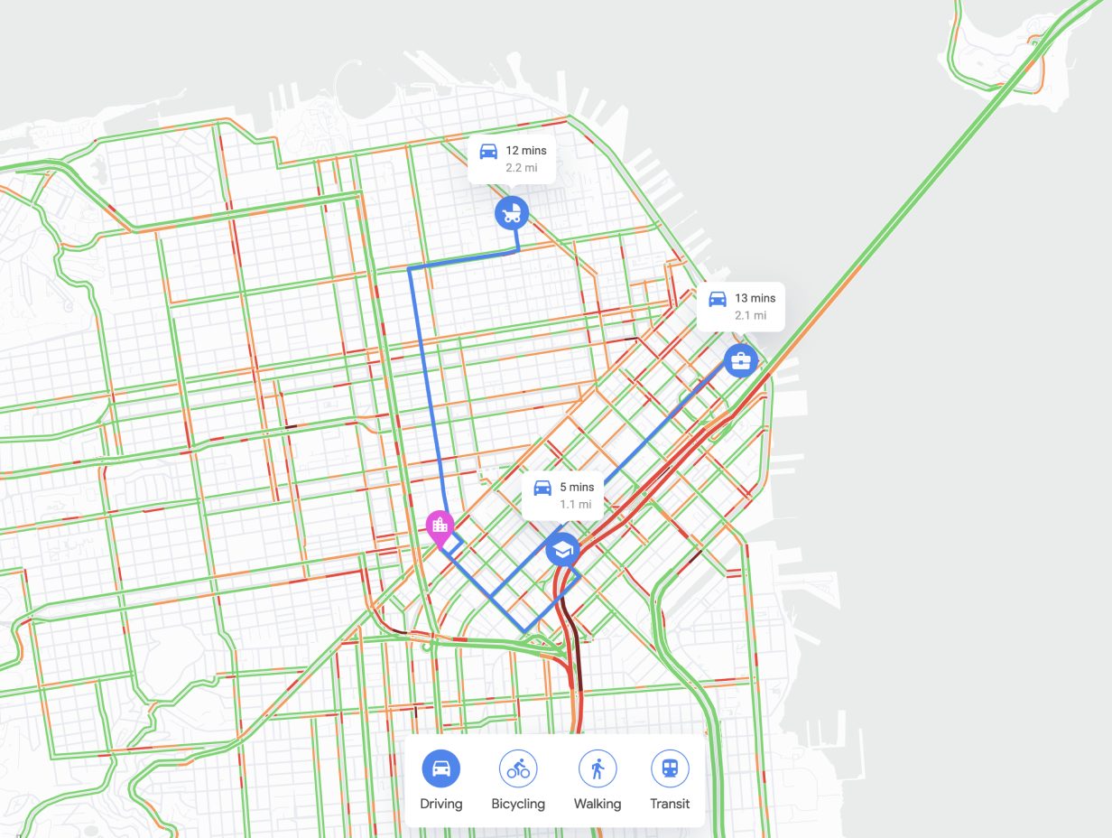
Understand commutes
Makes it easy to determine what commutes will be like to frequently-visited spots like an office, grocery store, or train station.
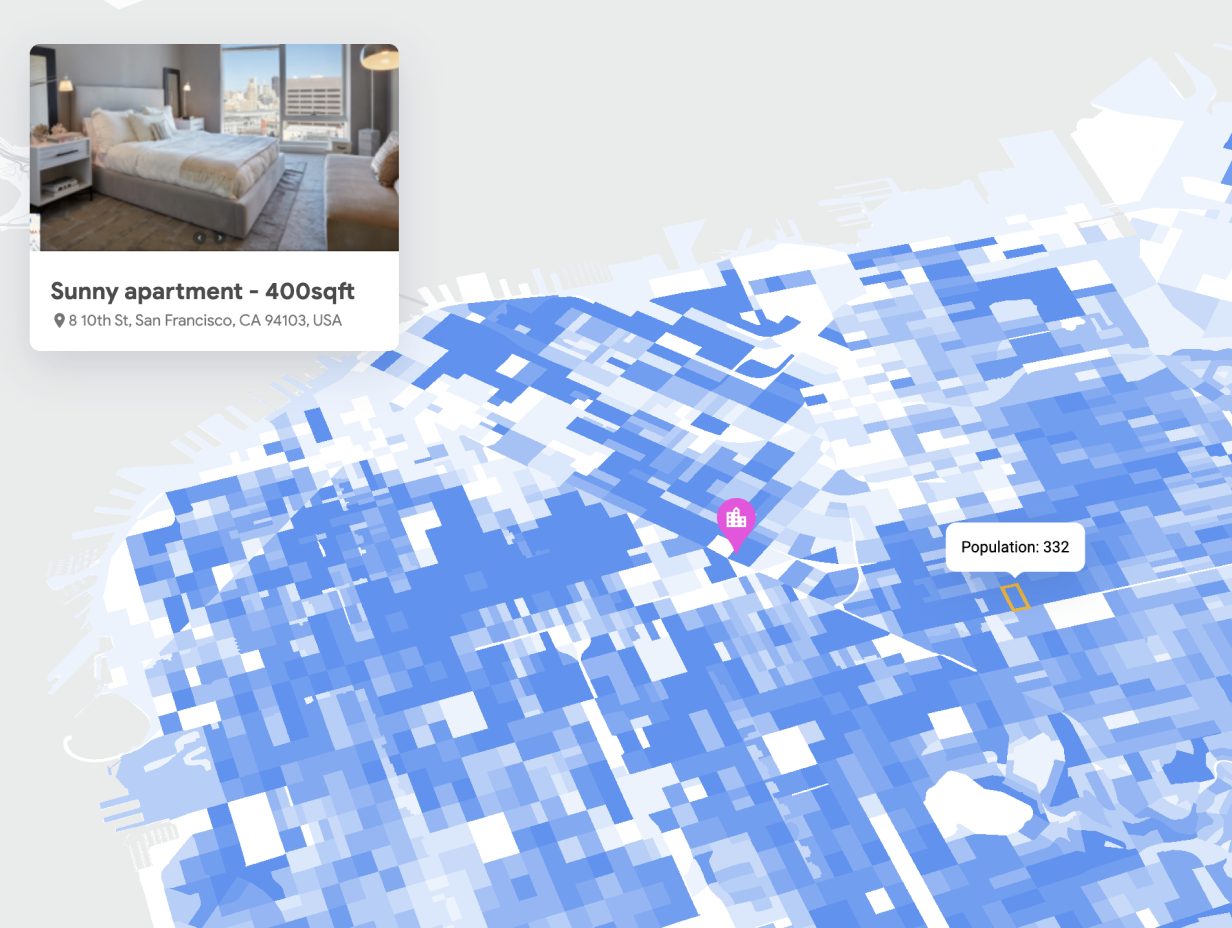
Visualize neighborhood data
Once you’ve identified a neighborhood or specific property, the map can be augmented with additional data layers of your own: school district boundaries, natural disaster risks, weather, property valuations, and much more.
Why do you need
a solutions partner?
Since 2017, we've been specializing in implementation, migration, integration, audit, administration, support, and training for the best-in-class cloud solutions.
With ease, we take on the responsibility to get the most favorable terms from a vendor based on your business needs and provide the utmost care at each stage of the journey with the solution.


