Your Down-to-Earth Guide to the Google Maps Aerial View API...
This guide gets you started with the Google Maps Aerial View API without going over your head....- Cloudfresh
- Google Cloud Products
- Google Maps Platform for Logistics
Google Maps Platform for Logistics
Transform trips and dynamically track your fleets, assets, and devices using the power of geospatial data

800M
routes delivered daily
60M
kilometers of roads mapped
10B
geocodes delivered monthly
Deliver fast, reliable routes
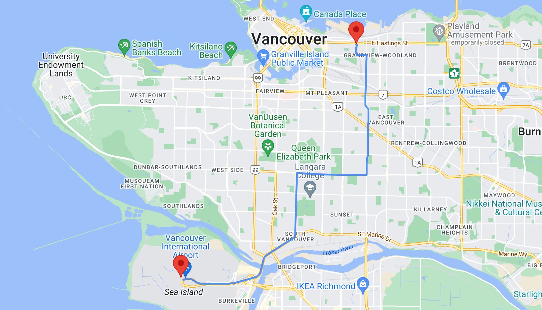
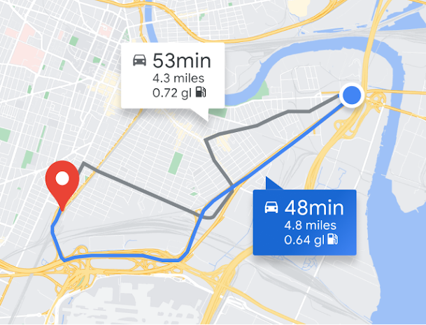
Customize routes according to your preferences for time efficiency, distance, and cost-effectiveness. Ensure accurate Estimated Time of Arrivals (ETAs) by leveraging motorbike-specific routes and preferences for sides of roads. With Routes Preferred, optimize your logistical operations with precision and flexibility, delivering enhanced efficiency and customer satisfaction across every journey.

Help drivers navigate, right in your app
Deliver a smooth driver experience through In-app Navigation, integrating controls, essential ride tasks, and alerts directly within your app for easy access. Support your drivers with intuitive Google Maps features like turn-by-turn directions, lane-level guidance, speed limits, motorbike routes, and additional functionalities. Gain valuable route insights to optimize both pickups and drop-offs, maximizing efficiency for rides and deliveries. Customize the interface to reflect your brand’s unique identity seamlessly.

Optimize driver allocation

Keep customers informed with live progress

Track and visualize your connected assets with detailed geospatial data
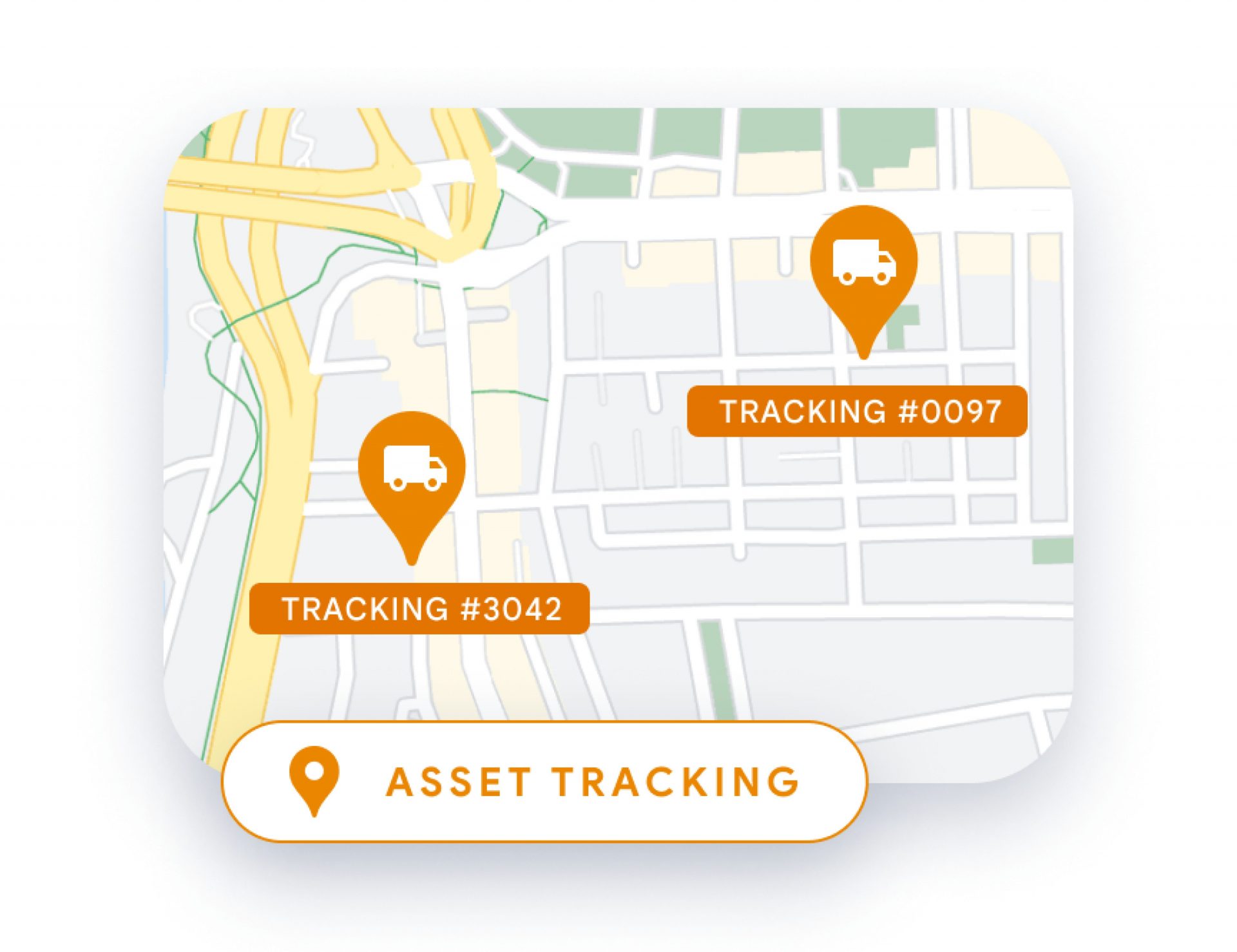
Whether your assets are located indoors, in remote regions, or spread across numerous cities globally, you can effectively track them. Enable comprehensive location monitoring for your critical assets. Streamline shipping operations by monitoring shipments from their inception on the assembly line to their ultimate delivery destination. Additionally, enhance user understanding of asset locations and environments by integrating geolocation capabilities into devices without requiring GPS or specialized hardware.

Create efficient routes for even the most complex fleet itineraries
Develop multi-point itineraries using current data on distances between locations and estimated travel times. Utilize suggested routes that consider both predictive and real-time traffic conditions. Select location mapping tools that align with your specific requirements. By optimizing routes, you can efficiently guide drivers away from traffic congestion, maximize fleet utilization, schedule maintenance for inactive trucks, and minimize instances of late deliveries.
Client cases
Why do you need
a solutions partner?
Since 2017, we've been specializing in implementation, migration, integration, audit, administration, support, and training for the best-in-class cloud solutions.
With ease, we take on the responsibility to get the most favorable terms from a vendor based on your business needs and provide the utmost care at each stage of the journey with the solution.


